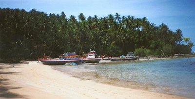
Phuket tourism photo copyrighted by: Alan Ingram Phuket is broken by a chain of mountains and valleys mainly from a north-south range running down the west coast. This accounts for about 70% of the land area. The tallest peak, Mai Tao Sip Song (12 Cane Peak) is 529 meters. The other 30% of the island is flat land located mainly in the central and eastern portions of the island. Laying in the Andaman Sea off southern Thailand’s west coast, the island’s terrain is incredibly varied,
with rocky headlands, long broad sandy beaches, limestone cliffs, forested hills, small estuaries, lagoons, and tropical vegetation of all kinds.
Find more images in the gallery of Photorena.
All pics are under copyright of the photographer
|
